Thousands of Newly Added Maps and Charts from CAMEL (Center for Ancient Middle Eastern Landscapes) at the University of Chicago
By Rob Shepard, GIS Librarian
Featured Item or Collection: University of Chicago's CAMEL Lab Collection
What is the item?
As part of the University of Chicago's Institute for the Study of Ancient Cultures's efforts to provide public access to information, its Center for Ancient Middle Eastern Landscapes (CAMEL) had published thousands of digitized items from its extensive collection of paper maps and satellite imagery in the institute's integrated database (IDB). However, the inability to spatially search through their collections based on location was limiting any wider public use: As CAMEL Director Mehrnoush Soroush explained "researchers need to see the coverage before selecting an item," and her team began exploring options to better serve the research community. The BTAA Geoportal's map-based interface, which accompanies faceted browsing and text searching tools, was an important factor in their decision to partner with the project, noted Soroush. CAMEL researchers Dominik Lukas and Ruyoang Tu worked to transform IDB metadata and add their records into the BTAA Geoportal, where their records could reach a wider audience.
This large dataset, added to the BTAA Geoportal this year, includes more than 8,000 maps, charts, and remotely sensed imagery from across the Near East, North Africa, Europe, and South Asia. These materials range from late nineteenth century hand drawn maps to relatively recent, contemporary satellite imagery. The collection represents any and all digitized materials that they know they can release publicly, and they intend to continue growing their contribution in the Geoportal as they make rights determinations on new and existing materials.
What BTAA Library submitted the item?
University of Chicago
Some of the collection highlights include
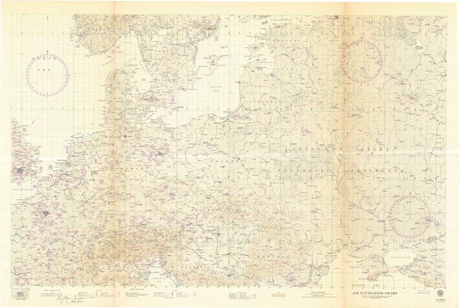
● aeronautical planning charts from the United States Air Force;
● navigation charts from the US Hydrographic Office;
● tourist maps of Jerusalem;
● colonial French and Soviet topographic maps;
● World War II era U.S. army maps;
● British War Office maps from the turn of the century;
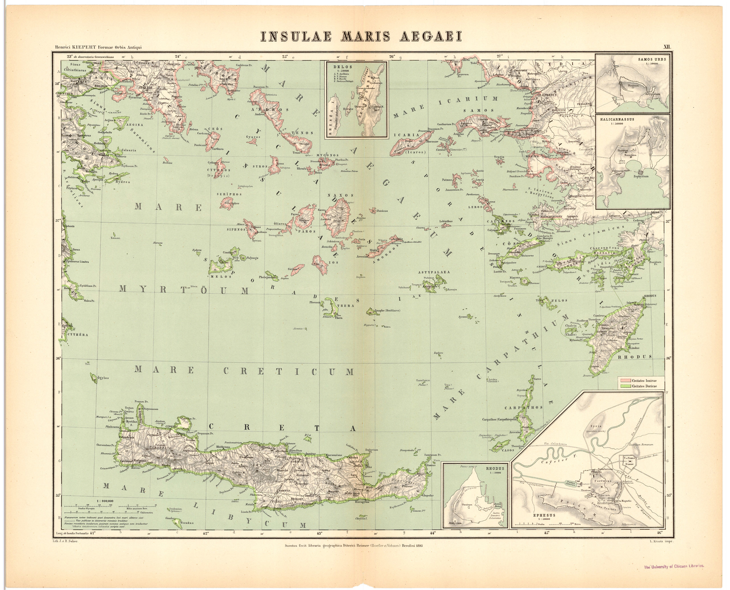
● nineteenth century maps of the Mediterranean and Nile Valley;
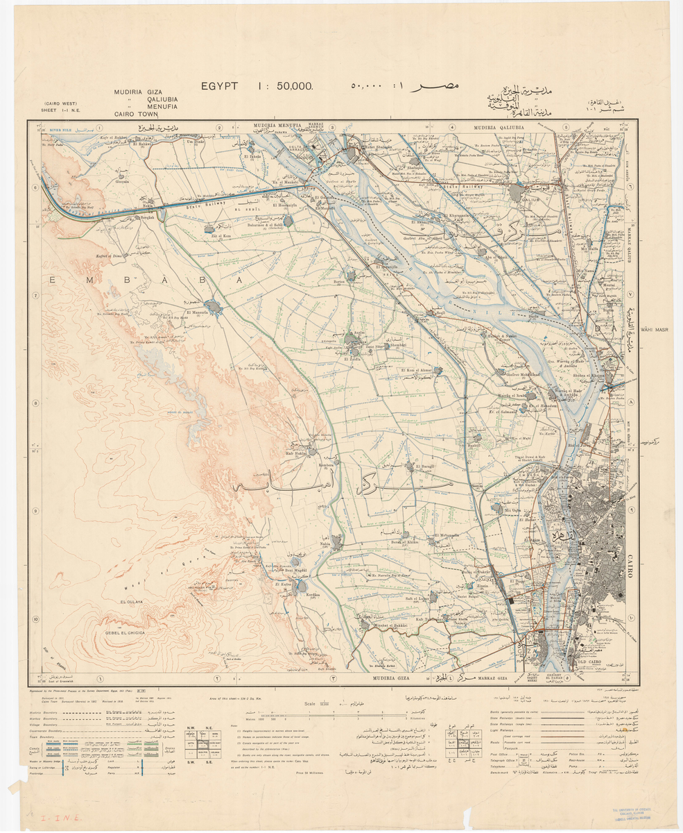
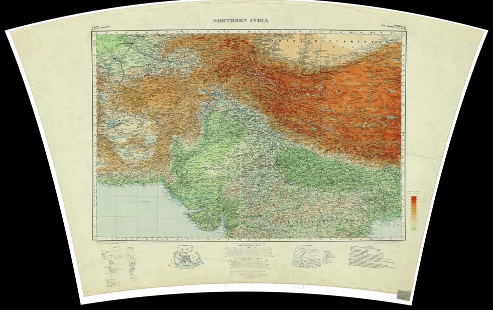
● numerous survey maps of India and Egypt
Images
Where can I find out more?
● To learn more about CAMEL lab or the Institute for the Study of Ancient Cultures, visit: https://isac.uchicago.edu/