In Summer 2022, two students with Japanese language knowledge were hired to examine Japanese language maps in Ohio State's collections in order to record additional information that would improve the metadata about the items, including a focus on the need for both Japanese and English language metadata. Takuma Goto is one of those students. Takuma has been continuing work on this project and this blog post details some general information about the maps and an especially interesting find in the collections. Takuma shares the following about what he experienced and a particularly long map!
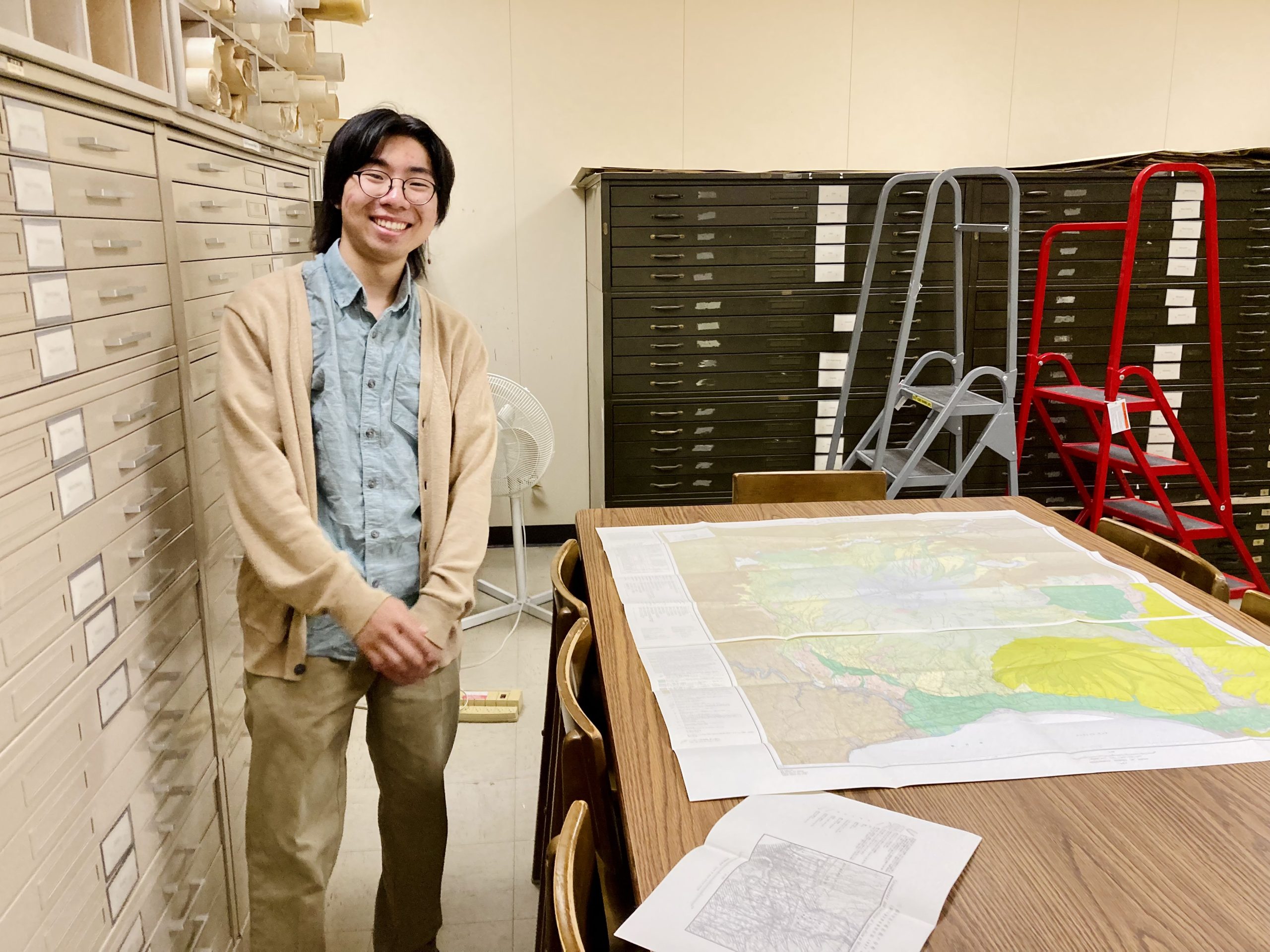
Takuma Goto (Class of 2023) working with a Japanese map in the Geology Library
Hi! My name is Takuma Goto, and I am a 4th year OSU student majoring in Statistics and Spanish. As my name suggests, I am ethnically Japanese, and thanks to my parents' efforts, I understand Japanese as well as English. This has given me the opportunity to work with the East Asian Studies Unit alongside Geology and GIS librarians on a Japanese maps project at the library. My work is part of a larger project to surface culturally diverse materials for teaching and learning and identify materials for potential digitization and cataloging on the
Big Ten Academic Alliance Geoportal. With this blog, I'd like to share some of my preliminary findings!

Pie chart Showing the Location of Japanese Maps in the University Library System
Where are the maps – and how old are they?
The Japanese Maps collection consists of over 2500 maps either published in Japan, in Japanese, or featuring the Japanese islands or colonized territories of the Japanese empire. During my first weeks on the job, I created a couple of pie charts that break down this extensive collection according to details such as when they were published and where they are stored in the library system.
The vast majority of these are listed in OSU's library catalog at
go.osu.edu/JapaneseMaps. As shown in the chart above, about two-thirds can be found in the
Thompson Library's Map Room, and roughly one-third are circulating in the
Geology Library in Orton Hall. These latter maps contain information relating to Japanese land features and seismological interests. One of our oldest maps,
Fujimi jūsanshū yochi zenzu (冨士見十三州輿地全圖, or roughly translated, A Complete Map of the 13 Provinces Overlooking Mount Fuji), published in 1842, can be found in the
Rare Books and Manuscripts Library. In addition, roughly three dozen Japanese maps are dispersed in places like the
Architecture Library, the
Billy Ireland Cartoon Library & Museum (BICLM), the Thompson stacks, and the University Depository. Often targeting children, the maps at BICLM are especially colorful and often include interesting graphics representing different cultures and landmarks.
Breakdown of Maps by Decade
Pie chart Showing the Distribution of Japanese Maps by Decade
As suggested in my second chart above, the map collection varies widely in scope and size. While most of the maps were published after World War II, around 400 of them are from the pre-war era and feature kanji in traditional Chinese (kyūjitai). In addition, some of the pre-war maps focus on Northeast China and other territories that were occupied by Imperial Japan. Other types of maps include transportation maps, like of the entire subway system in Japan, and general tourist brochures from the 1990s featuring major cities like Tokyo.
The Dainihon kōtei ōezu: an Edo Travel Map Facsimile (ca. 1840s)
Originally published in 1843, the
Dainihon kōtei ōezu (大日本行程大繪圖 transl.: Great Japanese Travel Map ) mapped the country of Japan. It took note of the cities, towns, and inns en route to the major cities throughout Japan. The copy that OSU libraries holds is a facsimile printed in 1977 of the 1857 re-issue. The northern domain of Hokkaido is not present on this map as the Meiji Restoration (1868-1889) had not yet occurred.
+
A photo of Dainihon kōtei ōezu ( 大日本行程大繪圖 Transl.: Great Japanese Travel Map) located in the OSU map collection. Map unfolds to a size of 27 x 199 cm.
The red tomb-like labels on the map indicate a province, while the yellow boxes indicate a castle and its surrounding town. The roads in between each major castle are dotted with the names of the inns that the cartographers presumably rested at during their excursion across the country. The darker red circles indicate smaller cities and towns. In contrast, large cities have a brighter red and a larger circle to match their size. Cities such as Kyoto, Osaka, and Edo (modern-day Tokyo) have even larger circles with a yellow border to indicate their importance.

A close up of the Japanese island of Kyushu. The city of Nara possesses a brighter and larger red circle, indicating its importance. However, Kyoto and Osaka possess an even larger red circle.
As the nation's capital, Edo is surrounded by castles and has an abundant number of inns and lodges leading up to the city. The red lines coming out of the capital are major roadways that span across the country, as opposed to the thinner black lines which indicate smaller country roads.

The city of Edo is highlighted in a bold red circle with a yellow border. The dotted lines on the ocean connecting Edo with other cities are a few of the common seafaring routes across the country.
This blog post was from content originally written by Takuma Goto for The Ohio State University Libraries'
Japanese Collections blog and is being reshared with permission.


