By Daniel Dotson
The Ohio State University has a valuable
OSU Extension that offers services and knowledge on a wide range of issues. Like many extension networks in other states, major topics include agriculture and environment.
Water
Water, Water everywhere… but WHERE exactly? The BTAA Geoportal has some answers. With over records for over
150 items related to water in Ohio, users could find information related to:
- Watersheds
- Wetlands
- Aquifers
- Groundwater
- Floodplains
- Bodies of water
- And More!
Information is available often by county, but sometimes specific to cities. Most of these are more recent items and data sets, but there is some historic information as well as some scanned maps available.
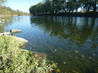 |
Maumee River
|
Trees & Forests
Over 100 items are available related to trees or forests. With trees as a major concern for environmental issues, but also with implications for the agriculture community, such resources would also be valuable to Extension. Topics related to trees/forests in Ohio include:
- Trees on public lands, parks, by streets, etc.
- State/National forests
- Soils, bedrock, etc.
- And some of the same resources as the Water topic, as water and tree topics often coincide!
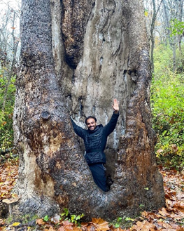 |
| Moses Cleveland Tree |
Transportation
And finally, since transportation affects everyone, but has critical implications for environmental and agricultural issues, there are
over 475 items in the Geoportal about issues related to transportation, roads, and streets. Most of these are datasets, with most also being newer content. But some historical info and scanned maps are available.
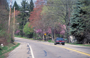 |
| Ohio & Erie Canalway |
What can this tell us?
This tells us that Extension services in Ohio, but other states within the BTAA Geoportal's member institutions, can benefit from the Geoportal. But it can also give us some directions as to potential areas to target for future content. For example, more scanned state-produced maps!