By Shirley Li
What is the item?
With historical imageries from 1890 to 2014,
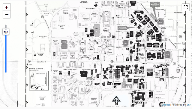
Purdue University Campus Map Collection is preserved from a digital scholarship initiative to educate the Purdue community and the public about the historic grounds and structures of the campus. Located in the Archives and Special Collections, the physical campus maps were scanned and georeferenced by the libraries. Individual GeoTIFFs can be downloaded from this collection on the BTAA geoportal.
What BTAA Library submitted the item?
Purdue University Libraries and School of Information Studies
Interesting tidbits
- All the historical maps are georeferenced and mosaicked into one mosaic dataset, which was published to ArcGIS server as one image service.
- University Hall is the oldest remaining building on campus. Completed in 1877, it is the only building remaining of the original six-building.
 |
Purdue Campus Maps: West Lafayette, Indiana, 1890-2014
|
Where can I find out more?
An
interactive map to query and visualize campus buildings at any given moment in time displays more information on the physical landscape and history of the campus. For more details, please visit the project
website.
