By Caroline Kayko and Nicole Scholtz
posted: Mar 10, 2021Interviewers: Caroline Kayko and Nicole Scholtz
This interview is part of our Data Provider Series, which highlights local governments and institutions that offer open GIS data. In each interview, providers tell us about their missions and data resources. We hope this will be a great way for readers to learn more about local GIS developments and new initiatives.
The Matthaei Botanical Gardens & Nichols Arboretum (MBGNA) is one organization with two locations at the University of Michigan. The locations feature gardens, trails, exhibits, a conservatory and more.
MBGNA also creates many geospatial datasets that map their resources. The datasets are published on an ArcGIS Hub site here.

Interviewee Name:
Maricela Avalos
Title:
Data & GIS Specialist
Division/Department:
Matthaei Botanical Gardens & Nichols Arboretum, University of Michigan
Website:
https://mbgna.umich.edu
Check out more geospatial resources from the Matthaei Botanical Gardens & Nichols Arboretum in the BTAA Geoportal here.
Have questions about the BTAA geoportal, or maps and geospatial data in general? Please don’t hesitate to contact our project team!
posted: Mar 10, 2021Interviewers: Caroline Kayko and Nicole Scholtz
This interview is part of our Data Provider Series, which highlights local governments and institutions that offer open GIS data. In each interview, providers tell us about their missions and data resources. We hope this will be a great way for readers to learn more about local GIS developments and new initiatives.
The Matthaei Botanical Gardens & Nichols Arboretum (MBGNA) is one organization with two locations at the University of Michigan. The locations feature gardens, trails, exhibits, a conservatory and more.
MBGNA also creates many geospatial datasets that map their resources. The datasets are published on an ArcGIS Hub site here.
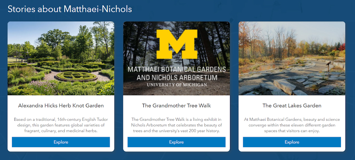
Featured Story Maps on MBGNA ArcGIS Hub
Conservatory Paths at the Matthaei Botanical Gardens
Interviewee Name:
Maricela Avalos
Title:
Data & GIS Specialist
Division/Department:
Matthaei Botanical Gardens & Nichols Arboretum, University of Michigan
Website:
https://mbgna.umich.edu
What is the mission of your agency?
"Promoting environmental enjoyment, stewardship and sustainability through education, research and interaction with the natural world. "What types of geospatial data are commonly requested?
We get many requests for locations of certain species at our properties, information about prescribed burns and invasive shrub management, and of course basic data like trails, boundaries, and points of interest. Students and researchers send many requests for data to be used in Master's projects, research outputs, and similar reports that involve visualizing our propertiesHow do you create the geospatial data?
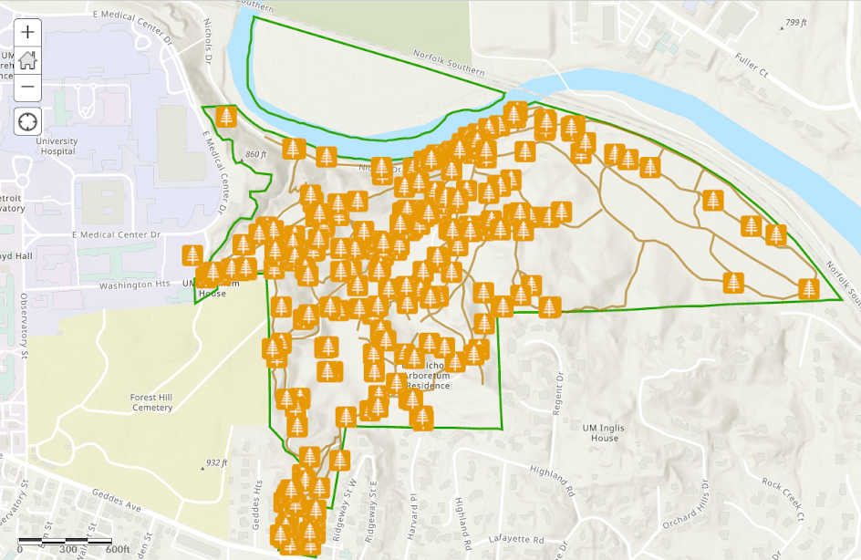
We have many datasets that we've collected out in the field using Collector for ArcGIS or a Trimble GPS unit. We have done analysis on regional datasets, imagery, and more to create some datasets as well.What is your most popular dataset?
Our most popular dataset is the Woody Plants layer with examples of species at the Nichols Arboretum.How do you typically receive requests for your geospatial data?
Most commonly, an individual will reach out via email and ask for a specific dataset.Woody Plants Dataset via ArcGIS Online
Check out more geospatial resources from the Matthaei Botanical Gardens & Nichols Arboretum in the BTAA Geoportal here.
Have questions about the BTAA geoportal, or maps and geospatial data in general? Please don’t hesitate to contact our project team!