By Laura McElfresh
Have questions about this item, the BTAA geoportal, or maps and geospatial data in general? Please don’t hesitate to contact our project team!
Laura Kane McElfresh is the Cartographic Metadata Librarian at the University of Minnesota.
Lighthouses (Great Lakes Circle Tour), Wisconsin 2013
What is the item?
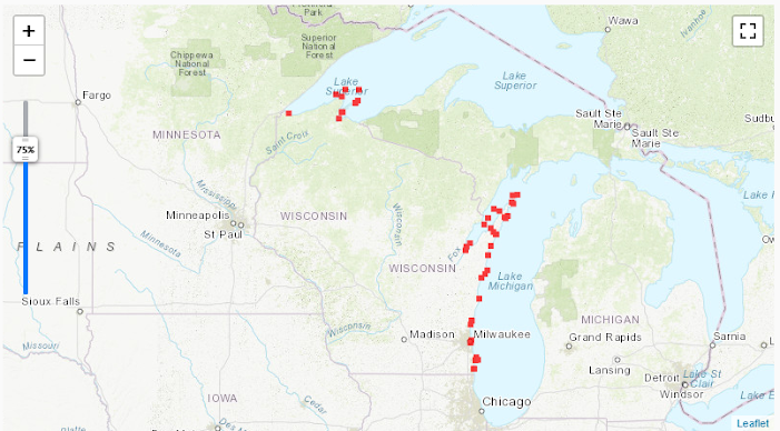
This data layer represents locations of Wisconsin lighthouses on the Great Lakes.What BTAA Library submitted the item?
University of WisconsinInteresting tidbits:
- The month of August includes National Lighthouse Day on the 7th!
- This dataset is part of the Wisconsin Coastal Atlas, an online collection of geospatial data covering the coastal Wisconsin counties on Lakes Superior and Michigan.
- Each lighthouse point on the interactive map display is clickable for more information about that lighthouse, including name, location (latitude & longitude), and links to outside websites for further reading.
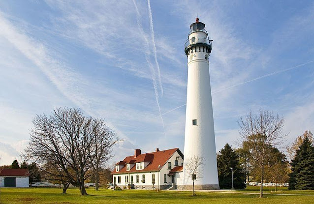
Wind Point Lighthouse, Wisconsin
By User:JeremyA, edited by Fir0002 - Edited version of Image:Wind Point Lighthouse 071104.jpg., CC BY-SA 3.0, https://commons.wikimedia.org/w/index.php?curid=5191958
Where can I find out more?
- To learn more about lighthouses all over the USA and Canada, see Lighthousefriends.com. For lighthouses of Lakes Michigan, Superior, and Huron, see Seeing the Light at terrypepper.com.
- For more information on the scenic routes along the shorelines encircling Lakes Superior, Michigan, Huron, and Erie, see the Great Lakes Circle Tour website.
- To find out more about Great Lakes research, education, and outreach, see University of Wisconsin Sea Grant.
Have questions about this item, the BTAA geoportal, or maps and geospatial data in general? Please don’t hesitate to contact our project team!
Laura Kane McElfresh is the Cartographic Metadata Librarian at the University of Minnesota.