By Cecilia Smith
University of Chicago Library GIS Data Hub
Have questions about this item, the BTAA geoportal, or maps and geospatial data in general? Please don’t hesitate to contact our project team!
Cecilia Smith is the GIS & Maps Librarian at the University of Chicago.
University of Chicago Library GIS Data Hub
What is the item?
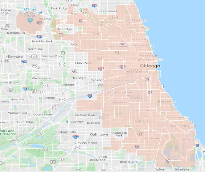
The University of Chicago’s GIS Data Hub is a portal to a curated set of historical Chicagoland data. There are currently 33 vector layers covering different themes. The data was produced by several sources, including UChicago researchers and Library Map Collection staff.What BTAA Library submitted the item?
University of ChicagoInteresting tidbits:
- The collection contains the city boundaries for Chicago starting in 1868.
- Ward boundaries for the years 1986, 1992, and 1998 are popular layers for researchers interested in redistricting and social outcomes.
- The 77 community areas as of 1990 are available, and continue to be very similar to contemporary areas.
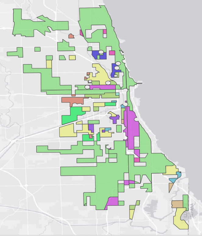
- A number of layers were derived from a 1948 dissertation by Henry Hughes Presler, titled "The effects of subsidy of Presbyterian Churches in metropolitan Chicago, 1871-1942." In the dissertation, Presler maps religious congregations and their ethnic makeup.
- The hub also includes 1925 world boundaries at the country level.
Presbyterian church congregations by majority ethnic background in 1930.
Where can I find out more?
- The city boundaries represent the history of Chicago’s land annexation. The Encyclopedia of Chicago provides an interesting entry on these annexations by Louis P. Cain.
- The Encyclopedia of Chicago also has an introduction to Chicago’s Ward System by Douglas Knox. More recently, Rober Vargas of UChicago Sociology studied the social outcomes of changing Chicago ward boundaries in Wounded City: Violent Turf Wars in a Chicago Barrio.
- The community areas stem from the Social Science Research Committee at UChicago in the early 20th century. More information is available through the UChicago Special Collection Research Center and Map Collection. A collection of scanned paper maps from the committee are also available through the geoportal.
- Questions about these datasets can be directed to the Map Collection at UChicago: mapcollection@lib.uchicago.edu.
Have questions about this item, the BTAA geoportal, or maps and geospatial data in general? Please don’t hesitate to contact our project team!
Cecilia Smith is the GIS & Maps Librarian at the University of Chicago.