By Karen Majewicz
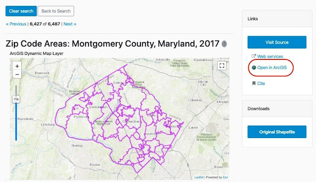
If you are looking to perform geospatial analysis on a dataset in the geoportal, using the “Open in ArcGIS” button will come in handy.A large percentage of the geospatial data resources in the geoportal are also available as ArcGIS Rest Services, which are hosted streaming datasets that can be added to an online map application. To find the resources with web services, use the facet “Type” and select “Service”.
Items with ArcGIS Rest services will have an option in the Links panel that says “Open in ArcGIS.” Clicking this text will open an instance of ArcGIS Online with the selected dataset loaded. From there, you can symbolize the dataset and add other files to your map.
