By Nathan Piekielek, Paige Andrew, and Linda Ballinger
Project Task Force Members
Nathan Piekielek, Geospatial Services Librarian; Paige Andrew, Maps Cataloging Librarian and Linda Ballinger, Metadata Strategist
Over the course of the past three years Penn State University Libraries has organized and shared through the BTAA geoportal cartographic information resources of two primary types: 1) digital surrogates of original paper maps and atlases; and 2) geospatial datasets. Paper maps and atlases are from The Donald W. Hamer Maps Collection and Eberly Family Special Collections Library. Geospatial data are from state agencies across Pennsylvania that have been contributed to The Pennsylvania Geospatial Data Clearinghouse (
PASDA). Some examples of each follow:
A nearly complete collection of Pennsylvania Sanborn Fire Insurance Maps that
when properly georeferenced can be used to
track land use change through time and can be linked to other historical human geography data sources like
manuscript censuses and university student directories to visually depict (at the building level) the locations of historical peoples and businesses within communities.
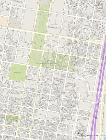 |
Vector shapefiles of current property parcels by county in Pennsylvania. Here are property parcels of Philadelphia’s Historic District, the first World Heritage site in the United States. Property parcels are an important unit of land division for many environmental, social and economic analyses. |

